Neighborhood Walk

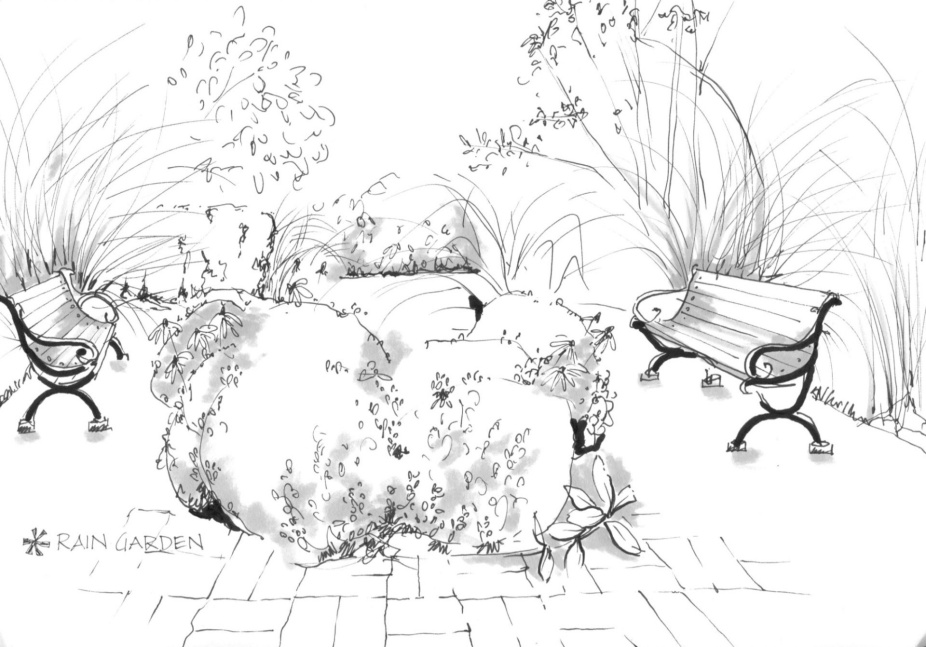
Sketch by Emma Cook
This project invited urban planning students to plan and carry out a walk through a neighborhood of their choice. Their walking route needed to be safely navigable as a pedestrian and between .5 and 1 mile in length (around a half hour walk).
Gallery
Students
Emma Cook, Chris Kimmerly, Leslie Moma
Faculty
Term
URP 691
Fall 2020
Program
MUP
Whatever neighborhood they chose, students were carefully instructed to follow all of the university’s COVID-19 health and safety guidelines.
The purpose of the walk was to better understand, observe, describe, and document the existing buildings and street patterns in their everyday life. During the walk students took notes and photos to document their observations. They observed the street patterns, the building types, building condition, the building uses and age.
The intention was to develop critical observation skills of the built environment, as well as advance graphic communication skills through drawing, sketching, diagraming, and composition.
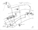
Students delivered two hand-drawn diagrams or maps of their chosen route. A context map shows the boundaries of the neighborhood and adjacent neighborhoods, districts, and natural features. The second, more detailed map shows their walking route, the street network, and the buildings, natural features, landmarks and mobility features they observed along the way. A location key on the map and a series of hand-drawn descriptive sketches and diagrams provided further interpretation of the built environment


